


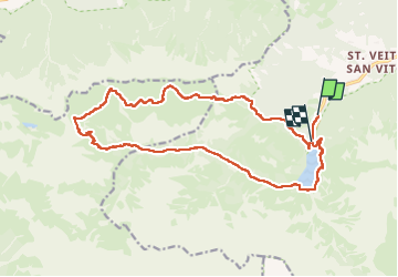
lac de braies 1112m 20kms

Danielba
User GUIDE

Length
19.5 km

Max alt
2369 m

Uphill gradient
1150 m
Km-Effort
35 km

Min alt
1481 m

Downhill gradient
1129 m
Boucle
No
Creation date :
2025-05-30 07:45:32.224
Updated on :
2025-05-30 15:46:14.654
7h58
Difficulty : Difficult

FREE GPS app for hiking
 SityTrail
IGN / Geographical institutes
SityTrail Plus
The world is yours!
About
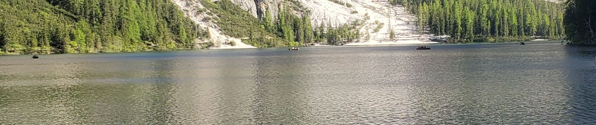
Trail Walking of 19.5 km to be discovered at Trentino-Alto Adige/Südtirol, South Tyrol, Prags - Braies. This trail is proposed by Danielba .
Photos


Positioning
Country:
Italy
Region :
Trentino-Alto Adige/Südtirol
Department/Province :
South Tyrol
Municipality :
Prags - Braies
Location:
Unknown
Start:(Dec)
Start:(UTM)
277313 ; 5176525 (33T) N.
Comments